


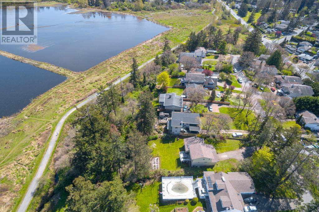

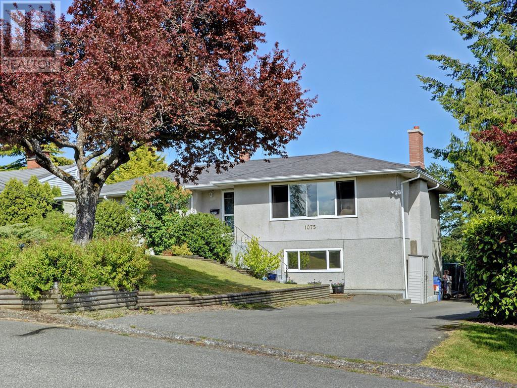

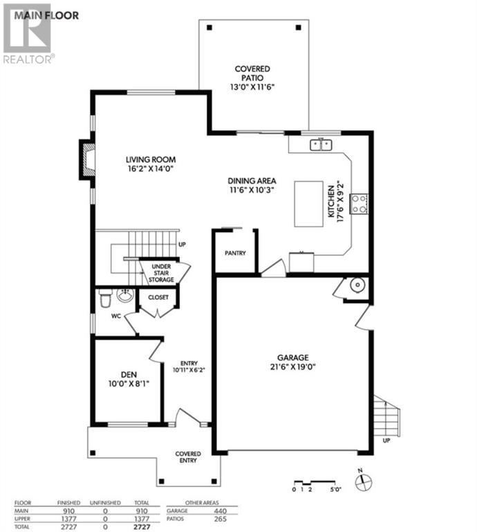
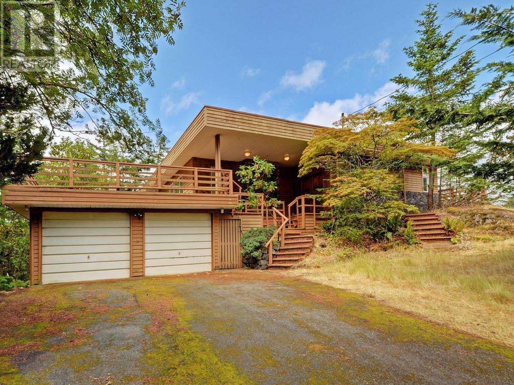


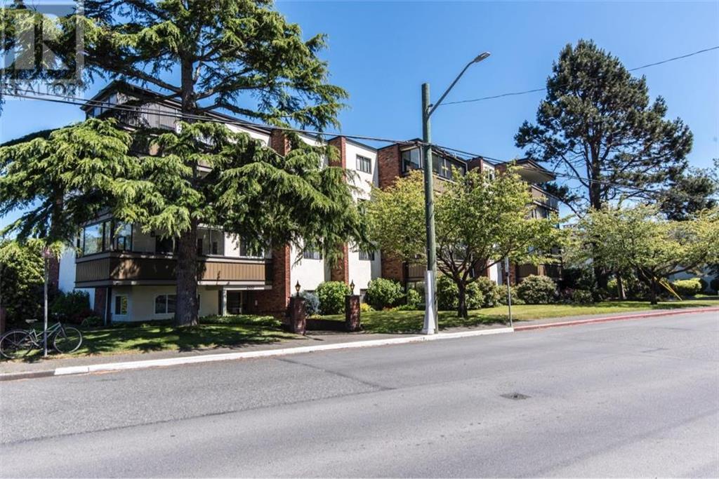
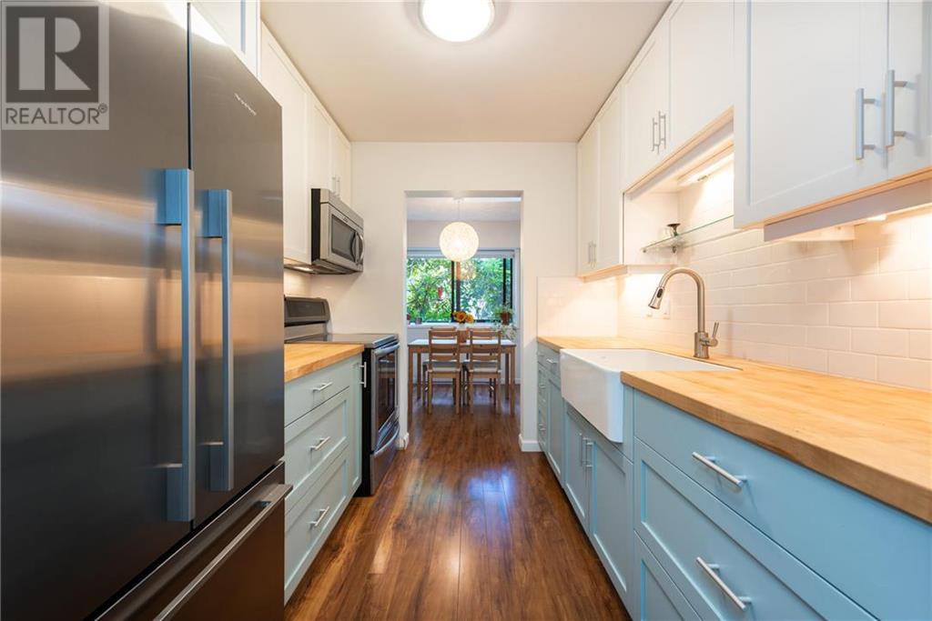

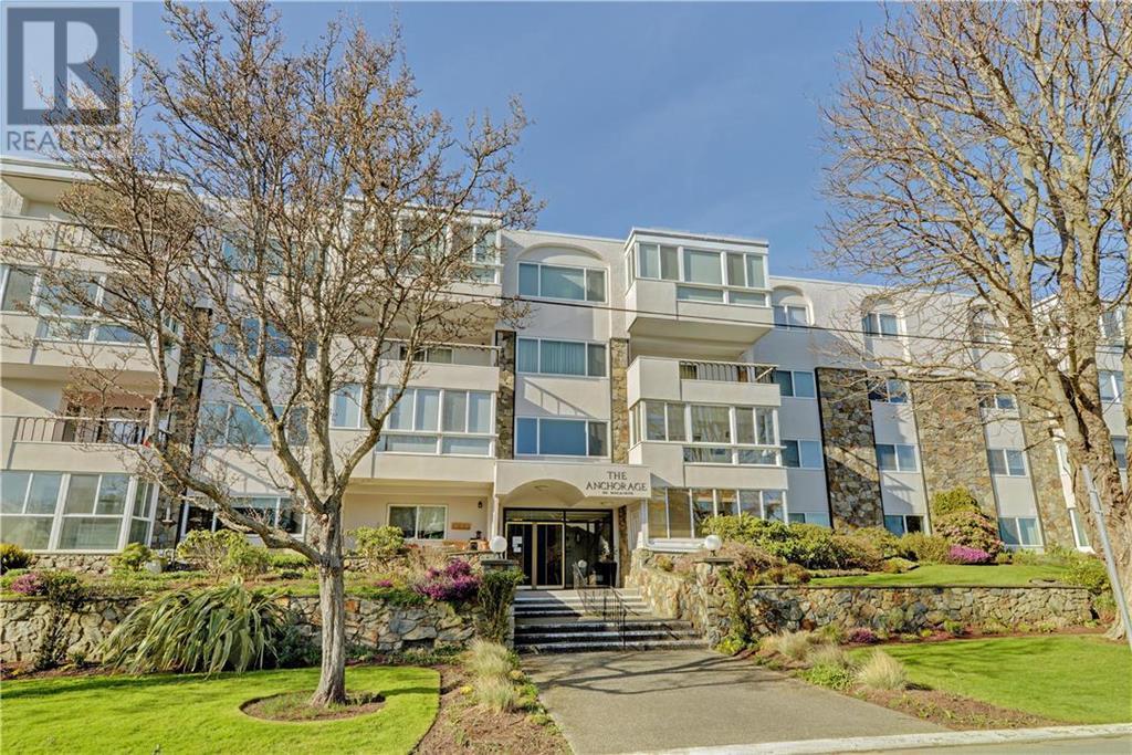


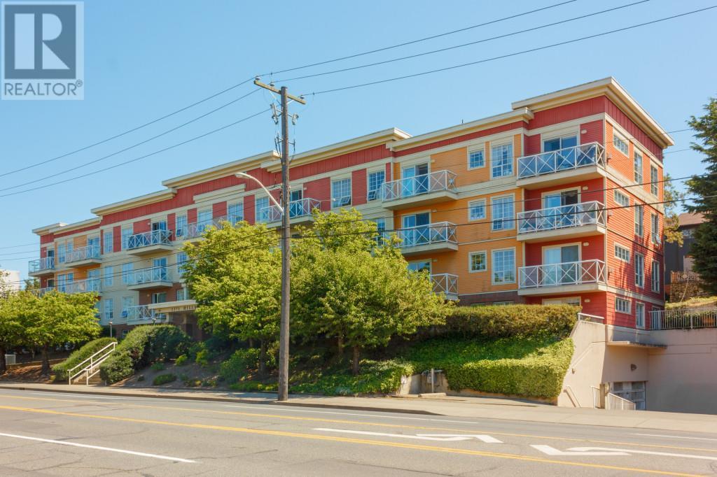
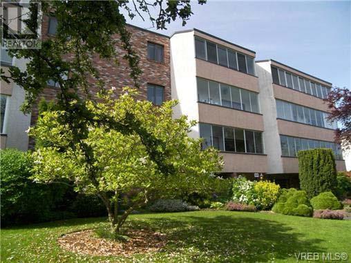


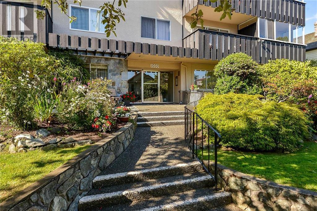
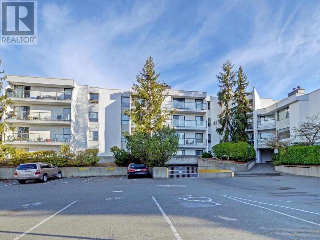

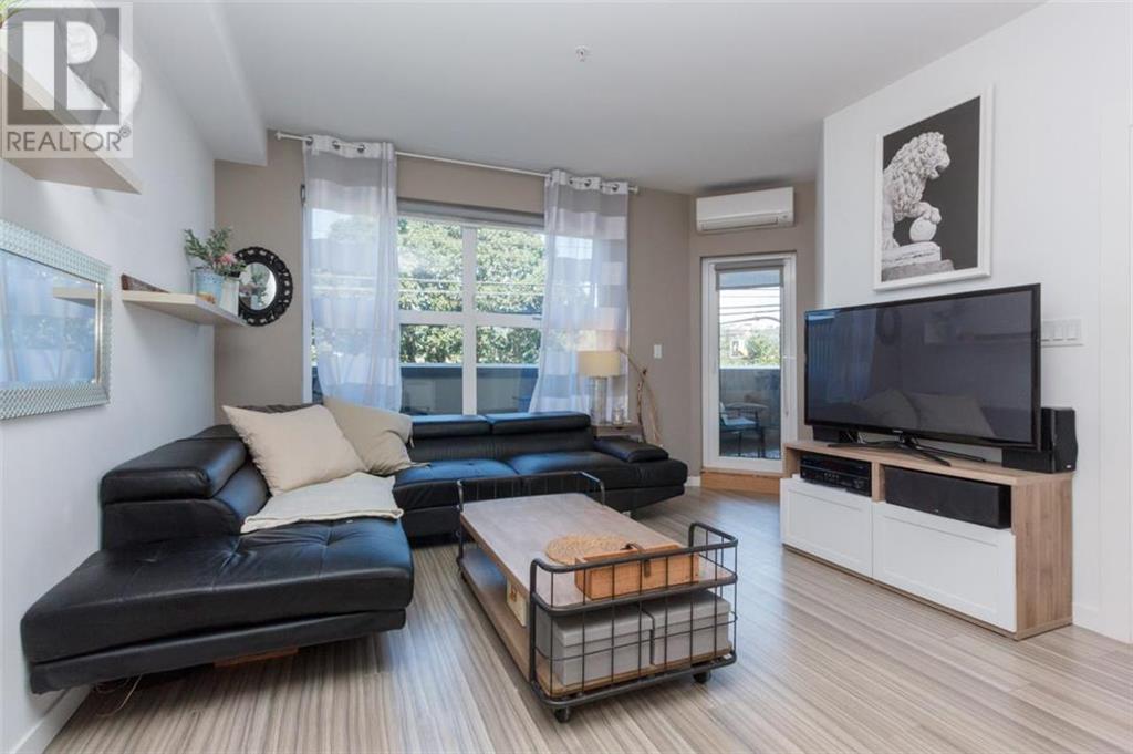


About This Victoria Web Site
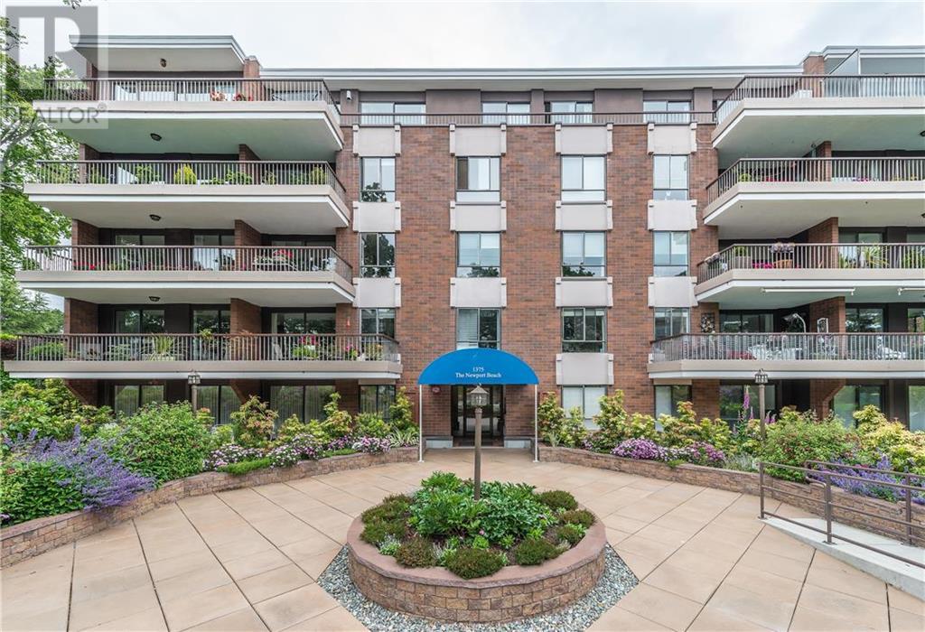
bccondos.net/city-victoria is the largest and most comprehensive online source for condo and townhouse listings and sales information. We are a resource for Buyers and Sellers of condos and townhouses by offering a complete building specific database of unique information for every building, every MLS® listing, building rentals, building sales history, building open houses and individual floor plans.
Contact
- E: info@bccondos.net
- P: 604-706-1760
- W: bccondos.net
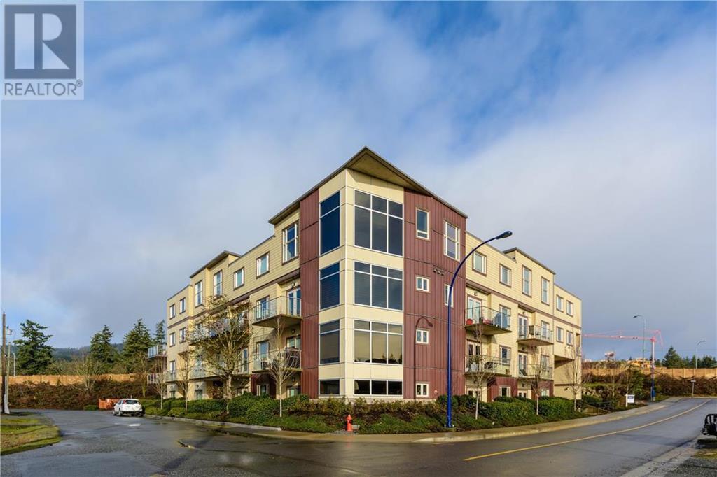
About This Vancouver Web Site
bccondos.net/city-vancouver-west is the largest and most comprehensive online source for condo and townhouse listings and sales information. We are a resource for Buyers and Sellers of condos and townhouses by offering a complete building specific database of unique information for every building, every MLS® listing, building rentals, building sales history, building open houses and individual floor plans.


Copyright © 2024 RE/Max Crest Realty. All Rights Reserved.